If mornings on the trail, afternoons on the water, and sunset rides sound like your perfect week, Littleton should be on your short list. You get quick access to riverside paths, a major reservoir, and foothill trail systems without giving up suburban comforts. In this guide, you’ll see which neighborhoods put you closest to the South Platte, Chatfield Reservoir, Waterton Canyon, and Roxborough. You’ll also get practical notes on rules, closures, and how to choose your best fit. Let’s dive in.
Littleton’s outdoor map at a glance
Littleton is built around the South Platte River and its paved spine, the Mary Carter Greenway. From downtown to Chatfield State Park, you can ride or run for miles along the river. The 880-acre South Platte Park anchors this corridor with lakes, birding, and nature trails managed by South Suburban Parks and Recreation. Learn more about the park’s scope and programs through the South Platte Park and Carson Nature Center page from South Suburban Parks & Recreation.
To the southwest, Chatfield State Park offers boating, paddling, a large off-leash dog area, equestrian routes, and dozens of miles of trails backed by foothill views. A short drive farther brings you to Roxborough State Park, known for dramatic red-rock formations and quiet day-use trails. The historic High Line Canal begins near Waterton and runs 71 miles toward Aurora, with recent investment and conservation work highlighted by Denver Water. For many buyers, these links make Littleton a place where you can live, commute, and play without loading a bike rack.
Top neighborhoods for trail access
Old Town / Downtown Littleton
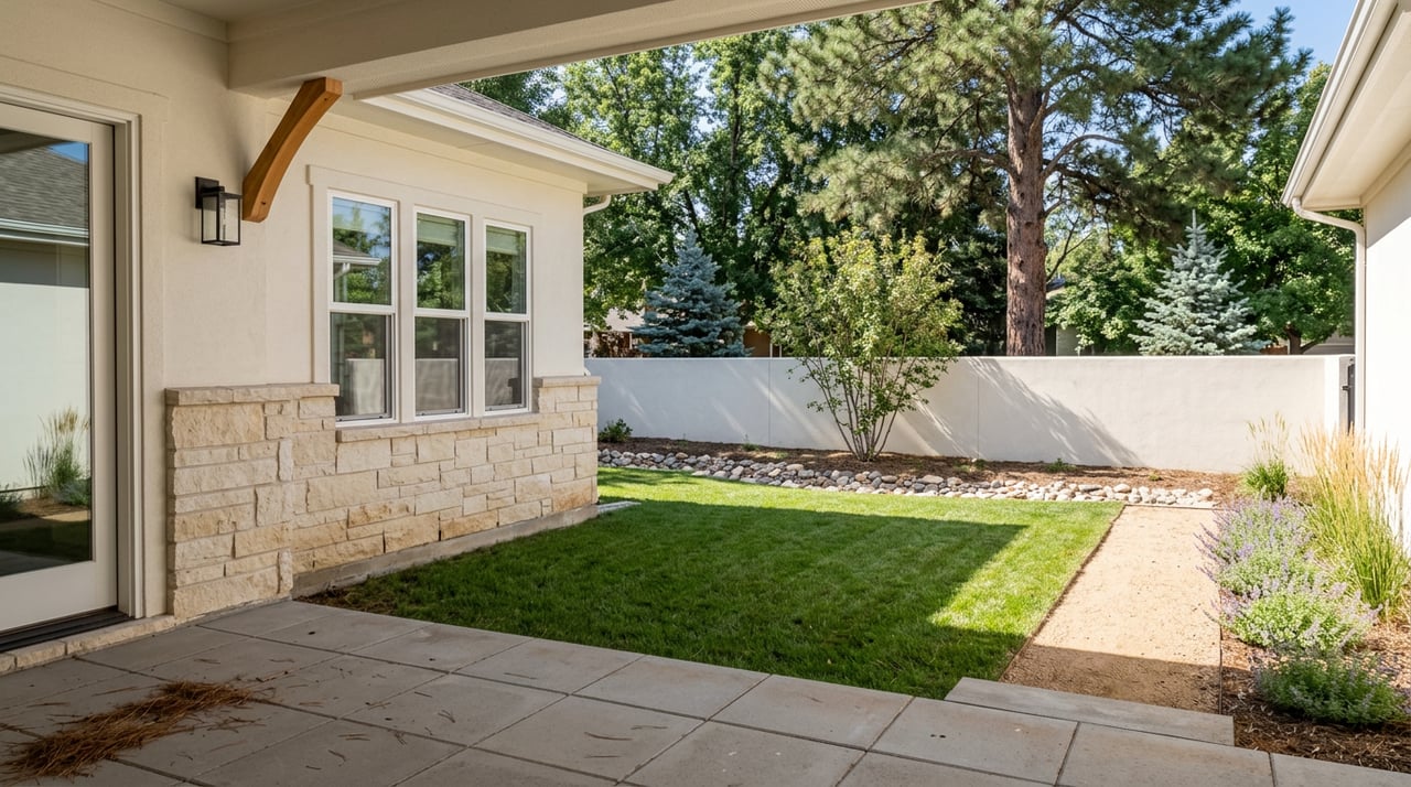
If you want to walk or bike from coffee to river path, this area delivers. The Mary Carter Greenway flanks the South Platte just south of Main Street, with trail access and garden stops featured on Visit Littleton’s Mary Carter Greenway page. You also have quick rides to South Platte Park and Hudson Gardens, plus RTD light rail stations for a simple Denver commute. Housing is a mix of historic bungalows, mid-century ranches, and newer townhomes near Main Street, all supporting a low-car lifestyle.
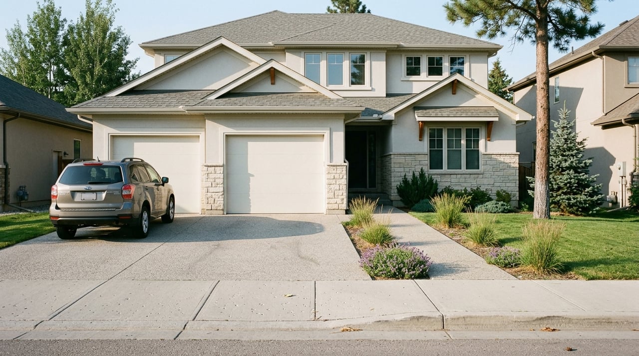
Price context: Littleton’s citywide median sale price hovered around the mid $600Ks in early 2026. In and around Old Town, smaller bungalows and townhomes can fall below or above that mark, depending on lot size and finishes.
South Platte Park corridor
If daily access to lakes, paved paths, and wildlife viewing is a must, living by the park is hard to beat. The 880-acre open space at South Platte Park provides a neighborhood-scale destination for runners, anglers, and birders with paved and natural-surface options managed by South Suburban Parks & Recreation. Established single-family streets and newer townhome clusters sit near the river, with premiums for park-edge and water-adjacent lots.
Expect pricing to track the Littleton median, with variation for updates and proximity to the river. The payoff is simple: you step outside, and the Greenway is right there.
Chatfield, Bow Mar, and Columbine
For water access and foothill views, the southwest corridor near Chatfield is a standout. Chatfield State Park offers boating, paddle sports, equestrian routes, camping, and one of the metro’s largest off-leash dog areas. Trails crisscross the park, linking you to miles of easy-to-moderate riding and running.
Housing spans from established suburban streets to luxury enclaves. Bow Mar and Columbine Valley often feature higher-end properties, while nearby neighborhoods closer to the reservoir include a broad range of homes, from attached options to larger lots. If time on the water or in the dog park is part of your routine, this area keeps it close.
Ken Caryl
Ken Caryl belongs on any shortlist for buyers who want a foothills feel with suburban services. The community’s open-space network and singletrack are a major draw; you can preview routes and maps through the Ken Caryl Ranch Open Space and Trails page. Expect rolling terrain, valley views, and quick access to the Dakota Hogback and nearby county open spaces.
Homes range from townhomes to single-family properties in master-planned pockets. A February 2026 snapshot showed a median sale price near the citywide Littleton figure. Commutes to major employment centers typically run about 20 to 35 minutes, depending on traffic and destination.
Roxborough Park and the foothills edge
If red-rock scenery is your happy place, this is a compelling perch. Roxborough State Park offers day-use trails amid dramatic geology and steady wildlife viewing. The surrounding neighborhoods lean quieter and feel closer to the foothills, with homes that often highlight views and trail access.
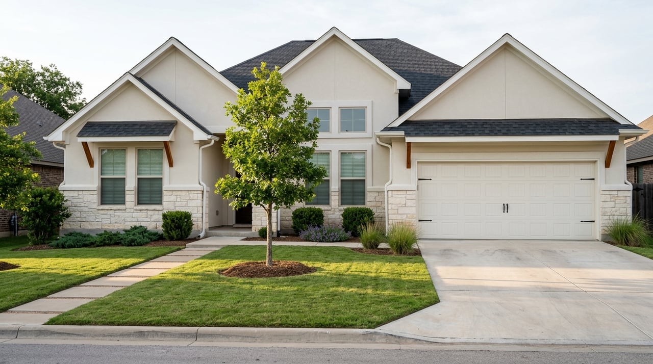
Most properties are single-family, including custom homes on larger lots. Market snapshots in late 2025 pointed to listing prices generally above the Littleton median, with many homes in the high six figures and beyond. You trade a bit of urban energy for scenery and space.
Highlands Ranch
Highlands Ranch is not in Littleton, but it sits next door and competes strongly for buyers who want a big suburban trail network. The community maintains dozens of parks and more than 70 miles of paved and natural trails, summarized by the Highlands Ranch Community Association. You also get multiple recreation centers and access to nearby foothill trailheads.
Homes range from townhomes to larger single-family properties. You will find a broad price spectrum and a consistent master-planned feel. If you want predictable amenities and lots of local routes, it is worth a look.
Getting around and connecting trails
The South Platte River Trail and Mary Carter Greenway form Littleton’s north-south backbone. This route links Old Town to South Platte Park and on toward Chatfield, with riverside access along the way. The High Line Canal offers an east-west alternative that connects many south-metro neighborhoods into a single, scenic corridor, as outlined by Denver Water.
Waterton Canyon is the urban gateway to the Colorado Trail. Managed by Denver Water, the wide service road climbs roughly 6.2 miles to Strontia Springs Dam. For current rules and seasonal notices, check Denver Water’s Waterton Canyon recreation page before you go.
For downtown access, RTD light rail serves Littleton with stations at Littleton Downtown and Littleton Mineral. Many buyers combine transit commuting with weekend rides from the same stations.
Rules, closures, and smart planning
- Dogs and pets: Chatfield permits leashed dogs throughout the park and hosts a very large off-leash area. Roxborough State Park has strict resource-protection rules. Waterton Canyon prohibits pets to protect wildlife; always confirm the latest rules on the Waterton Canyon recreation page or Chatfield State Park page before heading out.
- Closures: Operators post temporary closures for maintenance and wildlife management. Denver Water regularly updates Waterton Canyon notices on its site. Check park pages for construction, parking, and fire-related updates before planning a big ride.
- Floodplain history: The South Platte corridor, including areas near Chatfield, reflects lessons from the 1965 flood and ongoing flood-mitigation design. That history shapes park facilities and land use within the river zone, as noted by Colorado Parks & Wildlife.
- Counties and schools: The City of Littleton spans Arapahoe, Jefferson, and Douglas counties. County lines, school districts, and tax rates vary by parcel, so confirm details for each address using the city’s guidance for newcomers on littletonco.gov.
How to choose your best fit
- Start with your weekend: Water sports, singletrack, or paved river miles. Rank what you will do most, then line that up with the closest neighborhoods above.
- Consider your commute and transit: If you will use light rail often, Old Town and the South Platte corridor simplify life. If you want foothill trailheads out your door, Ken Caryl or Roxborough Park may win.
- Match housing style and budget: Littleton’s citywide median sat in the mid $600Ks in early 2026, with wide variation by neighborhood and home type. Decide where you want to invest for the lifestyle you will use daily.
- Factor in rules and access: If you have a dog, Chatfield’s off-leash area can be a difference maker. If you prefer quiet, day-use parks, Roxborough may fit better. Always check park pages for current policies.
When you are ready to tour homes that back up to trails, sit near the river, or overlook the foothills, connect with a local expert who lives this lifestyle and understands the data. For personal guidance, market intel, and a smooth plan from search to closing, reach out to Lane Lyon.
FAQs
What Littleton neighborhood puts me closest to paved river trails?
- Old Town and the South Platte Park corridor offer the quickest access to the Mary Carter Greenway and South Platte Park’s paved paths.
Where can I bring my dog for off-leash play near Littleton?
- Chatfield State Park has a very large off-leash dog area; always review current park rules before visiting.
Is Waterton Canyon open year-round, and can I bring my dog?
- Waterton Canyon is popular most of the year but has periodic closures; pets are not allowed. Check Denver Water’s recreation page for updates.
Which areas feel closest to the foothills for quick trailheads?
- Ken Caryl and Roxborough Park sit on the foothills edge, with direct access to community trails and nearby county or state parks.
How do trail systems connect if I want long rides without driving?
- The Mary Carter Greenway links Old Town to South Platte Park and Chatfield, while the High Line Canal provides an east-west corridor that ties many south-metro neighborhoods together, as outlined by Denver Water.
Does Littleton sit in one county or several?
- City limits cross Arapahoe, Jefferson, and Douglas counties. Confirm the parcel’s county, school district, and tax details using the city’s new resident resources.